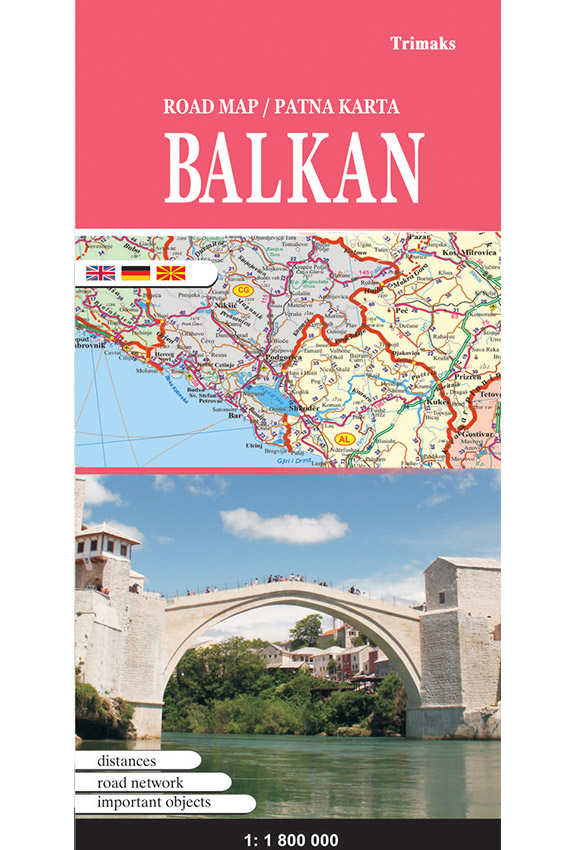
Publisher: Trimaks
Year of publication: 2017
Dimensions: 96X66 cm
Size: 1: 1 800 000
Production: Printed konzdruk of 115 g / m2. Lacquered. Packed in a plastic bag.
ISBN: 998994040-1
On the road map Balkan represents the entire road and rail network, starting from highways, highway, regional and local roads, which can lead you to any desired destination. The distance from one place to another is marked with numbers, and with all the major symbols and toponyms almost all major settlements, mountains, rivers, lakes, seas, islands, bays are marked … The road map contains all the countries on the Balkan peninsula with defined borders and capitals, and each country is marked with a special color. Within the map, on the other side are given more significant data about the states, their area, population number, time zone …


