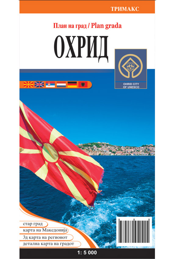
Publisher: Trimax
Year of publication: 2016
Dimensions: 66 x 48 cm
Size: 1: 10 000
Production: Printed on congrup 115g / m2. Lacquered, packed in a bag.
ISBN: 998994041-X
The map presents a detailed overview of the city with all its streets, inhabited, uninhabited and industrial zone, forests, parks. With special symbols are marked the most important objects in the city as monuments, churches, ambulances, hospital, post office, banks, schools, faculties, market, gas stations, museums … On the map in the lower part is the index of the streets for easier finding them , and on the other side of the map is the Ohrid-Klinic column on the 3D map. On the map you can find out a short history of the most famous churches and monuments, and in addition to this is a detailed section of the Ohrid Fortress with its surroundings.


